Preparation of Maps of Flood Risks and Maps of Classes of Flood Risks for 2 Areas of Significant Impact of Floods in the Republic of Slovenia
The task is based on the Framework Programme for Implementing the Directive on the Assessment and Management of Flood Risks for the Period of 2009–2015 (Ministry of the Environment and Spatial Planning, May 2009). The legal framework of our task is set out in Article 6(5) of Directive 2007/60/EC (OJ L 288), which was transposed into Slovenian law with Articles 11, 12 and 13 of the Decree on Establishment of Flood Risk Management Plans (Official Gazette of the RS, No. 7/2010) that was adopted on the basis of Article 60.a of the Act Amending the Waters Act (Official Gazette of the RS, No. 57/2008). The primary purpose of this task is to provide expert bases for determining objectives and measures for flood risk management planning in 61 areas of significant impact of floods in 2014 and 2015. Articles 11, 12 and 13 of the Decree on FRMP define the method, content and timetable for the preparation of maps of flood risks and flood threats. As for the way the maps are created, the Ministry must ensure that the maps are prepared in the most appropriate scale for the given areas of significant impact of floods pursuant to the regulation on the methodology for determining flood areas at the river basin district level in line with water regulations. Maps of flood risks cover the geographical areas that could be flooded according to the following scenarios:
1. floods with a low probability or extreme event scenarios,
2. floods with a medium probability (1%),
3. floods with a high probability, where appropriate.
For each scenario from the above paragraph, the following data must be shown:
1. the floodplain,
2. water depths or water level, as appropriate,
3. where appropriate, the flow velocity or the relevant flow.
Maps of flood risks and maps of classes of flood risks for two areas of significant impact of floods (Izola and Piran) have been created (coastal flooding risk analysis). The propagation of waves for the entire territorial waters of the Republic of Slovenia was calculated for the first time ever along with an evaluation of water levels in conjunction with the likely occurrence of high tides and waves according to the Rules for the entire coast. To calculate the propagation of waves, we used the globally recognised and validated DHI MIKE 21 NSW numerical model. Calibrating the propagation of waves was only possible by means of measurements at a single location (in front of Punta Piran) i.e. at the Vida buoy. Two additional buoys were installed in 2014, but a few months’ worth of measurements is not sufficiently relevant data for additional calibration. Proper calibration, primarily due to greater accuracy of calibration of the propagation of waves along the coast, would require measuring the waves at several points along the coast. It needs to be noted that calibrating the wave model is not as clear-cut as for example the calibration of hydraulic models of watercourses, since considerable dispersion of data on measured wave heights can be present at the selected wind force and direction, because the model – due to its quasi-stationary nature – cannot take into account any previous waves and variable wind conditions. Consequently, calibration was carried out in such a way that the stated propagation of waves at the open boundaries of the model and at the selected wind does not decrease along the computational grid, while remaining within the range of the measured data at the Vida buoy site. For more accurate wave propagation calculations, we recommend establishing periodic or continuous wave height measuring along the coasts of Koper, Izola, Piran and Portorož.
All water level combinations (G10, G100 and G500) include the likely simultaneous occurrence of peak high tide and waves with respect to the event probability according to the Rules. The Rules do not define the probability of waves occurring (height) in combination with the probability of a high tide (height). Moreover, they do not stipulate which wave height is to be used in calculating the water level, e.g. the average height, characteristic height or peak height. The Rules also do not permit minimising (or even eliminating) less likely scenarios, e.g. the simultaneous occurrence of high tides and wind from the direction of the Bora or the Tramontana, because usually the air pressure is not very low in such windy conditions and the wind does not “push” the sea towards the Gulf of Trieste as in the case of wind from the direction of the Sirocco. High tides are almost always accompanied by south winds. In any case, it is not foreseeable that the G100 water level stipulated in the Rules is an event with a probability of exceedance of 0.01 in a particular year or an event with a return period of 100 years, because the event has a much lower probability of occurrence. The same applies to the G10 and G500 water levels. The coastal flooding hazard whose identification (methodology) is prescribed in the Rules is therefore perhaps overestimated and a softening of the Rules is in order considering the findings of the study.
Water levels were calculated using the significant wave height, which is usually the result of numerical models. The significant wave height is greater than the average wave height and lower than the peak wave height, which makes it more suitable for calculating the extent of coastal waves than the peak or the average wave height on account of the fact that waves lose energy on contact with coastal infrastructure (e.g. walls, sea wave embankments, buildings, etc.), and their extent depends on the amount of energy lost per each type of coastal infrastructure. Energy dissipation and the overtopping of waves of coastal infrastructure is a hydraulic phenomenon that is usually extremely three-dimensional and needs to be treated separately in each case. A reduction of the wave height is essential due to the impact of the coastal infrastructure, though its amount is unknown, among other things due to the interaction of the different types of infrastructure and because waves do not always propagate linearly towards the coast; deflected waves can even increase in size due to the impact of coastal infrastructure. An empirical reduction of the wave height with respect to each type of coastal infrastructure could lead to increased risk since it would not take into account the hydraulic phenomena of the simultaneous impact of individual types of infrastructure along the coast. Calculating the extent of the propagation of waves using the peak wave height would provide the greatest level of safety but also cause the greatest spatial constraints. It was assumed that the energy of peak waves is reduced on contact with coastal infrastructure to such a degree that the wave height for the coastal infrastructure equals the significant wave height. For more accurate calculations of wave propagation on the coastline (land), it would be necessary to apply numerical models that can also take into account the impact of coastal infrastructure.
Although the two given areas in Piran and Izola comprise only a small part of the coast, wave modelling was carried out for the entire territorial sea, and the envelope curve of peak wave heights was calculated for the entire coast and then applied onto 100m sections along the coast. This data (wave height, direction, sea level, overall water level) can be used subsequently by land-use planners in assessing the flood risk posed by the sea in other sections. Such a need has already been demonstrated, since there were also some mistaken approaches to calculating the propagation of waves, though they were always empirical in nature. The results of wave propagation modelling can also be applied more widely, for example:
1. as a boundary condition for more accurate modelling of the propagation of waves inside ports, marinas and sheltered ports;
2. to calculate the load caused by waves when sizing coastal infrastructure, since numerical models also provide the wave spectrum energy;
to identify areas of the Slovenian sea where vessels can take refuge in the event of larger waves.
Link to Additional Content:
- Preparation of Maps of Flood Risks and Maps of Classes of Flood Risks for 2 Areas of Significant Impact of Floods in the Republic of Slovenia. Annual Report on Work on Task I/2/1, Task Leader: Blažo Đurović. Institute for Water of the Republic of Slovenia, September 2014. Client: Ministry of the Environment and Spatial Planning, Programme of Tasks of IWRS for 2014.
Project Staff:
Mitja Centa, Mitja Peček, Dr Leon Gosar, Gašper Zupančič, Katja Sovre, Brane Klinc, Branko Damjanovič
Related Content:
- Classification of Flood Risk Areas and Determination of Areas of Significant Impact of Floods in Slovenia. Annual Report on Work on Task I/2/1.1, Task Leader: Blažo Đurović. Institute for Water of the Republic of Slovenia, May 2012. Client: Ministry of the Environment and Spatial Planning, Programme of Tasks of IWRS for 2012; Available at: http://evode.arso.gov.si/direktive/FD_tabela.htm
- Update of the Integrated Map of Flood Risks and the Integrated Map of Classes of Flood Risks for Publication in the Environmental Atlas (60 New HH Studies) and Design of the Integrated Map of Water Depths at Q100. Annual Report on Work on Task I/2/6, Task Leader: Mladen Ajdič. Institute for Water of the Republic of Slovenia, December 2014. Client: Ministry of the Environment and Spatial Planning, Programme of Tasks of IWRS for 2014 (the task has been underway since 2012); Available at: http://evode.arso.gov.si/direktive/FD_tabela.htm
- Preparation of Maps of Flood Threats for 27 Areas of Significant Impact of Floods in the Republic of Slovenia. Annual Report on Work on Task I/2/2, Task Leader: Blažo Đurović. Institute for Water of the Republic of Slovenia, December 2013. Client: Ministry of the Environment and Spatial Planning, Programme of Tasks of IWRS for 2013; Available at: http://evode.arso.gov.si/direktive/FD_tabela.htm
- Preparation of Maps of Flood Threats for 28 Areas of Significant Impact of Floods in the Republic of Slovenia. Annual Report on Work on Task I/2/2, Task Leader: Blažo Đurović. Institute for Water of the Republic of Slovenia, December 2014. Client: Ministry of the Environment and Spatial Planning, Programme of Tasks of IWRS for 2014; Available at: http://evode.arso.gov.si/direktive/FD_tabela.htm
Keywords
About the Project
Project Library
Photo Gallery
OTHER NATIONAL PROJECTS

Expert bases for determining the priorities of the Republic of Slovenia in the field of environment and efficient use of resources and identification of the themes that are most suitable for co-financing from the LIFE program
In the framework of the project task, we prepared guidelines on the thematic priorities from the Multi-annual LIFE work program for the period 2014–2017 in the priority area Environment and efficient use of resources, and Environmental management and information for Lot 1: water, including the marine environment. The thematic priorities...
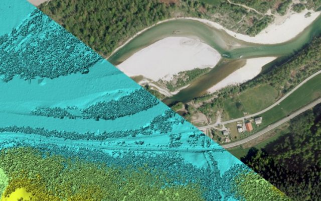
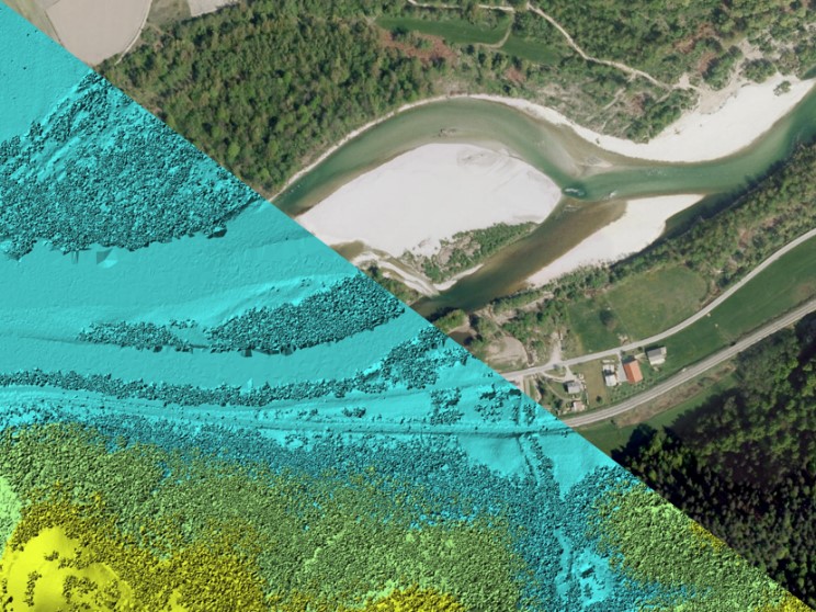
Remote sensing of large river hydromorphological characteristics and impact assessment on biotic communities
The project’s aim is to identify and compare impacts of different stressors (hydromorphological alterations, pollution, land use), acting on different spatial scales (reach, segment, catchment), on benthic macroinvertebrate and fish communities in Slovenian large rivers, as well as to analyse the comparability between field survey and remote sensing based hydromorphological...
Monitoring of the river ecosystem on water licence area on the river Soča
In this project our task is to monitor the impact of hydropower plant operation on river Soča ecological status/potential, specifically on biological quality elements, hydrological, and physico-chemical quality elements according to the current legislation.